Explore images of the Southwest taken by those who live there and see how water influences the places, people and environment. We hope that these images will be a starting place for conversations about the importance of water and how people can work together to preserve it for the future.
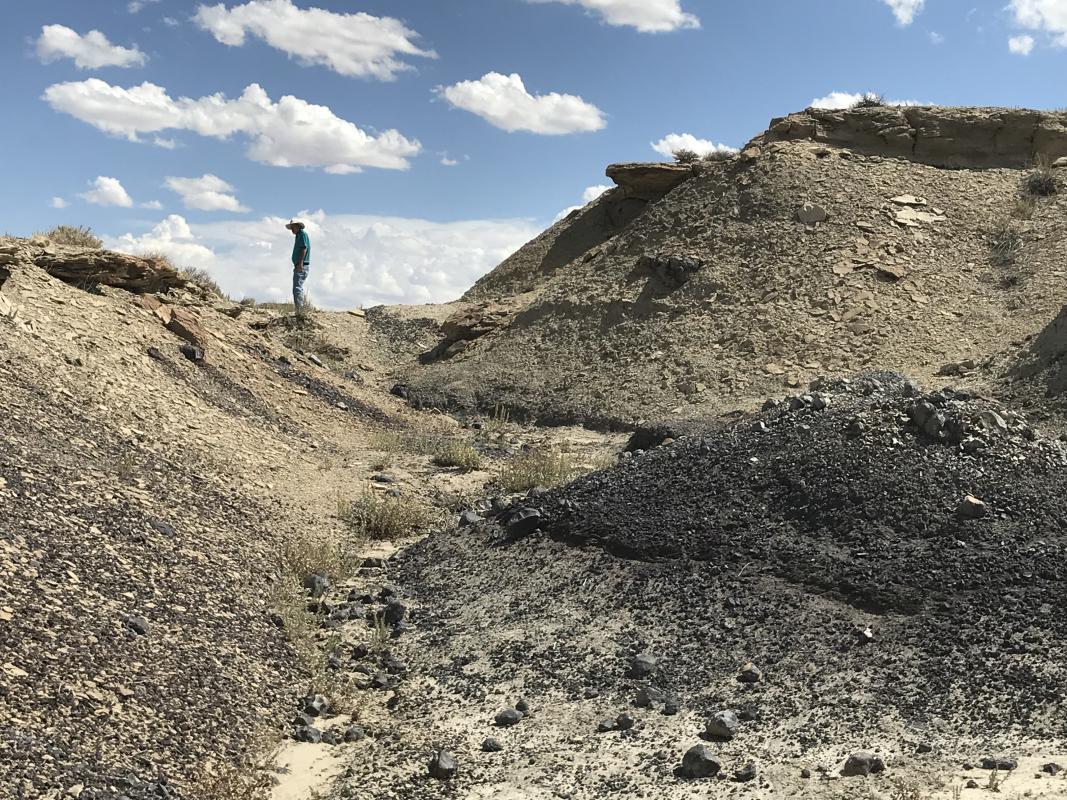
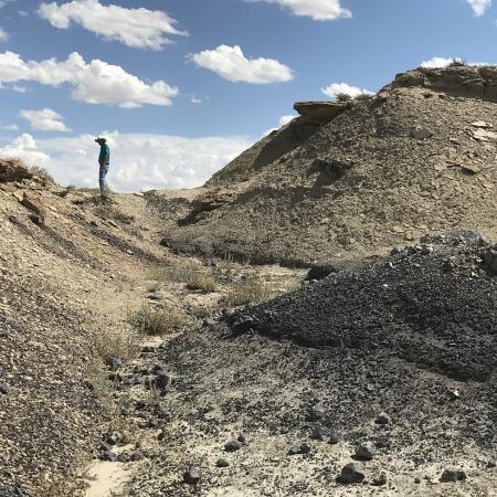
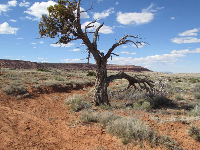
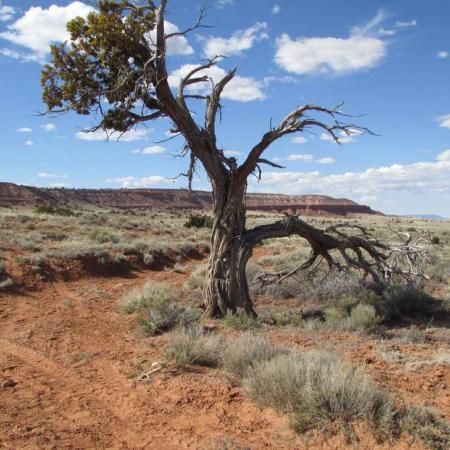
Bisti Badlands. Desert Solitaire.
Far from the three rivers that run through New Mexico’s northwest. A lone hiker traverses the park on Navajo Nation near Thoreau.
This photo won second place in the 2022 We are Water Photo Contest.
by: Rebecca Larivee
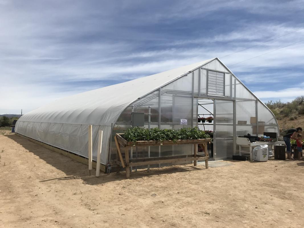
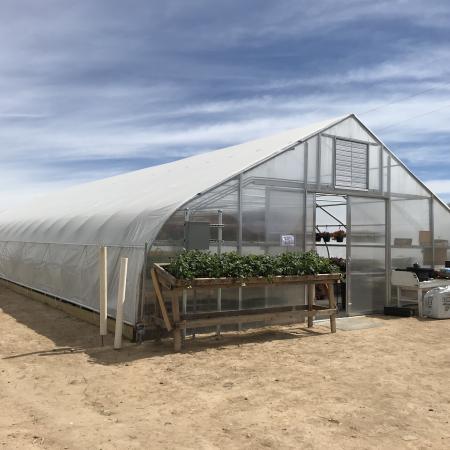
Greenhouse on the Mesa. Townsend Farms.
Above the Animas between Aztec and Cedar Hill. Irrigation brings a green oasis to floral and vegetable offerings at Townsend Farms.
This photo was a submission to the 2022 We are Water Photo Contest.
by: Rebecca Larivee
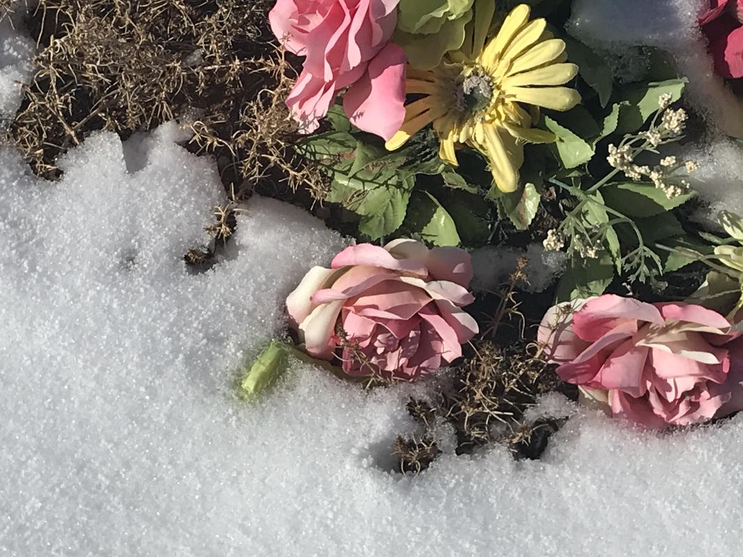
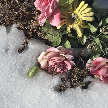
Cedar Hill Cemetery Grave, Snow Line.
Melting snow in the small New Mexico community of Cedar Hill, comforts a grave in the rural cemetery.
This photo was a submission to the 2022 We are Water Photo Contest.
by: Rebecca Larivee
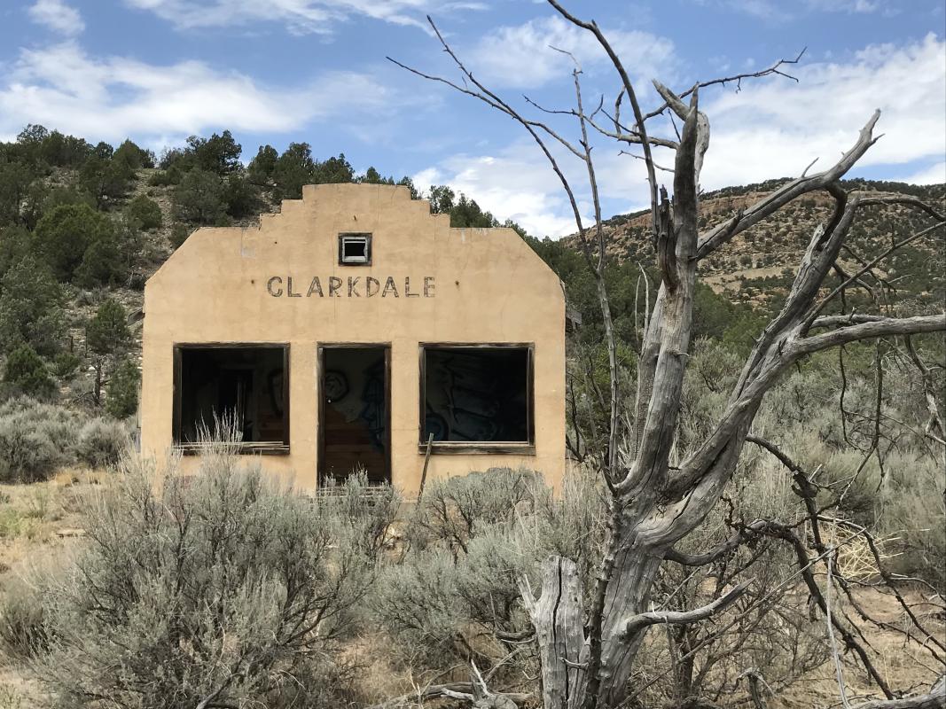
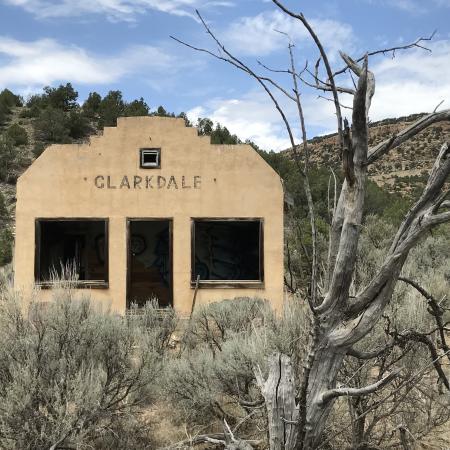
“Clarkdale” Above the Animas
Clarkdale just meters above the Animas River Plateau, New Mexico-Colorado state line. Once thought to be a stage stop or train depot. More likely an abandoned store. Turning to ruin, looking dry and western despite its location near the life-giving river.
This photo was a submission to the 2022 We are Water Photo Contest.
by: Rebecca Larivee
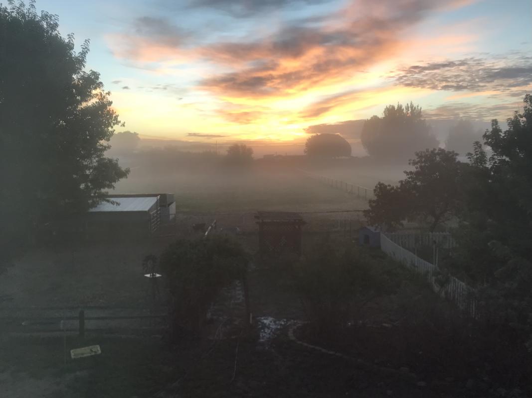
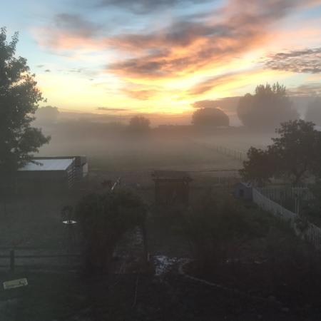
Misty October Morning. West Hammond Farm.
Goatvalley Farms on a Misty morning after a heavy rain. Flooding occurs during the monsoon season. One house down from the San Juan River. Bloomfield, New Mexico.
Accompanying Water Reflection: From cracked dry land to underwater. Our small farm survives all seasons by the San Juan River.
This photo was a submission to the 2022 We are Water Photo Contest.
by: Rebecca Larivee
Below the Bluffs of the San Juan River
Fall 2021 southside of Farmington, just north of the San Juan River. In amongst trailer parks, subdivisions, is a reminder of the farming past of Farmington, once called Farmingtown.
Accompanying Water Reflection: Our rivers, the San Juan, Animas and La Plata, nourish and makes our arid high desert bloom, and nurtures us in greenery.
This photo was a submission to the 2022 We are Water Photo Contest.
by: Elisa Bird
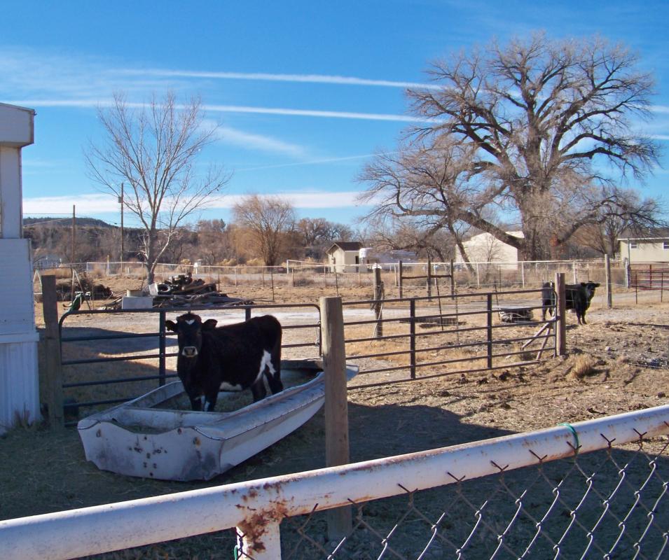
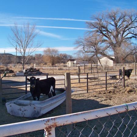
Ready to Set Sail on the Animas River
In the beautiful Animas River Valley, west of Aztec, is the home of a herd of cows. Feeling restless and bored with winter, Shirley imagines setting sail for greener pastures.
Accompanying Water Reflection: I have lived in the valleys of the Animas River for 35 years. The river and her valleys are my home and place.
This photo was a submission to the 2022 We are Water Photo Contest.
by: Elisa Bird
Spring on Display
Aztec yard filled with spring color, trees and royal wicker chairs.
Accompanying Water Reflection: Because of the blessings of irrigation, my yard in central Aztec is rich with color and sheltering trees, a true urban forest filled with the songs of birds.
This photo was a submission to the 2022 We are Water Photo Contest.
by: Elisa Bird
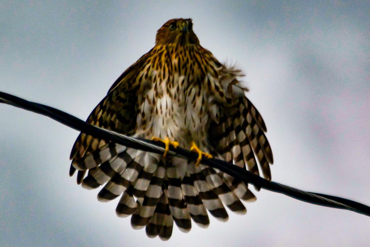
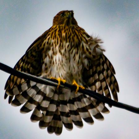
After the Storm
This juvenile Cooper’s Hawk was photographed in my yard in Cortez, Colorado, on August ?, 2022, after a downpour during our monsoon. Taken using Nikon Equipment, iso 1000 300mm f5.6 1/1600s.
Accompanying Water Reflection: In Montezuma County, Colorado, we were very fortunate to receive decent abundant monsoonal rains in 2022. Although severe drought conditions still exist in the Four Corners region, it has been beautiful to see the area flourish with the moisture we have received.
This photo was a submission to the 2022 We are Water Photo Contest.
by: Dana Jensen-Evink
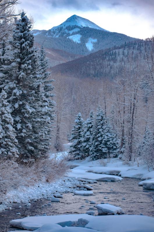
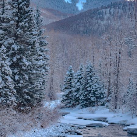
Summer in the light, winter in the shade
Dolores, Colorado March 6, 2022 07:26 AM
This photo was a submission to the 2022 We are Water Photo Contest.
by: Mark Landers

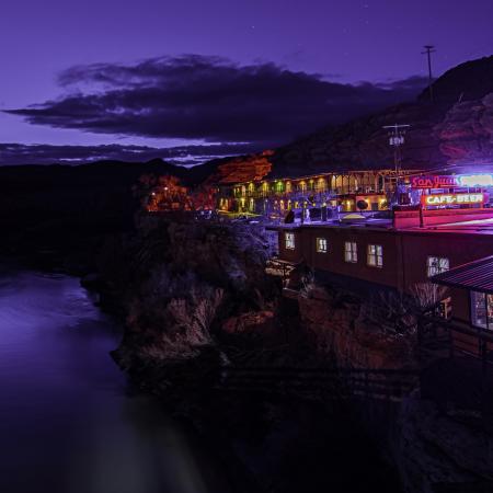
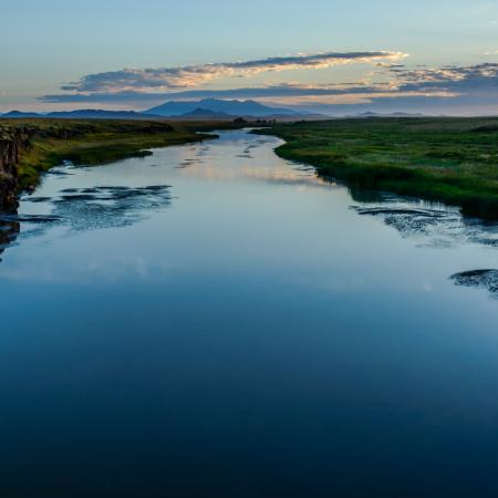
Dusk on the San Juan River
Mexican Hat, Ut on March 6, 2022
This photo won Best Visiting Photograph in the 2022 We are Water Photo Contest.
by: Mark Landers
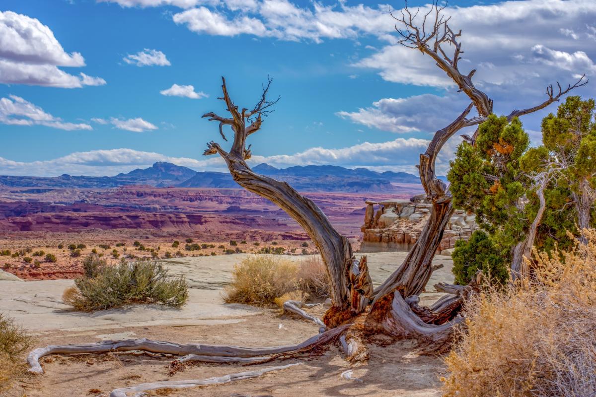
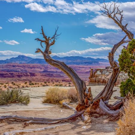
San Rafael Swell, so much more than swell!
San Rafael Swell, Utah. March 2020
This photo was a submission to the 2022 We are Water Photo Contest.
by: Jon Hafen
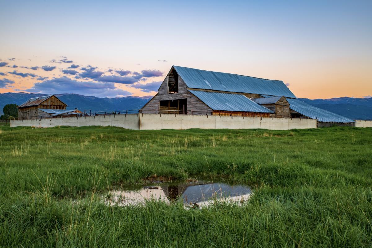
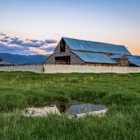
Water Barn Reflection
Sanpete County, Utah. August 30, 2022, captured this beautiful old barn & sunset colors this past summer. I absolutely love my rural life!
This photo was a submission to the 2022 We are Water Photo Contest.
by: Jon Hafen
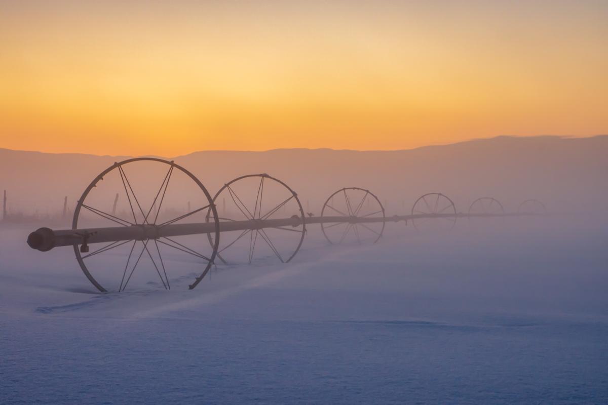
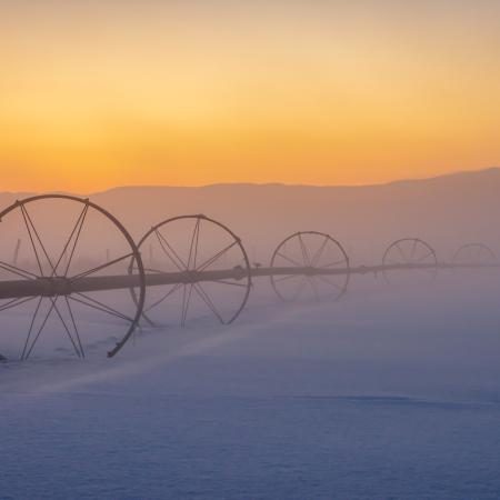
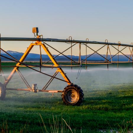
Misty Wheel Lines
Sanpete County, Utah, December 29, 2021.
Accompanying Water Reflection: Though these irrigation wheel lines sleep during winter, they rely on lots of snowpack which brings them to life with the much needed water to our fields during the summer months.
This photo won first place in the 2022 We are Water Photo Contest.
by: Jon Hafen
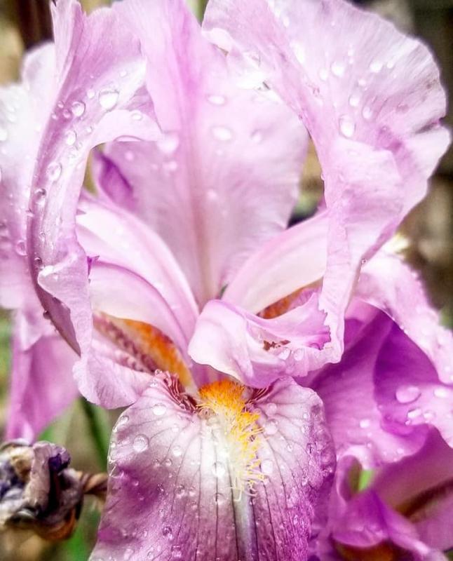
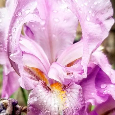
Rainy Day Flower
A thankful flower after a rain strom in my garden. La Boca Canyon, CO. May 30, 2020
This photo was a submission to the 2022 We are Water Photo Contest.
by: Cheyenne Munns

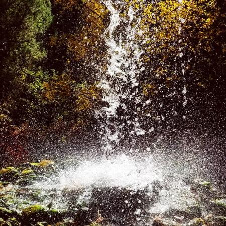
Little Fall
A small waterfall found at the end of Church Camp Trial, Durango, CO. October 18, 2020
This photo won third place in the 2022 We are Water Photo Contest.
by: Cheyenne Munns
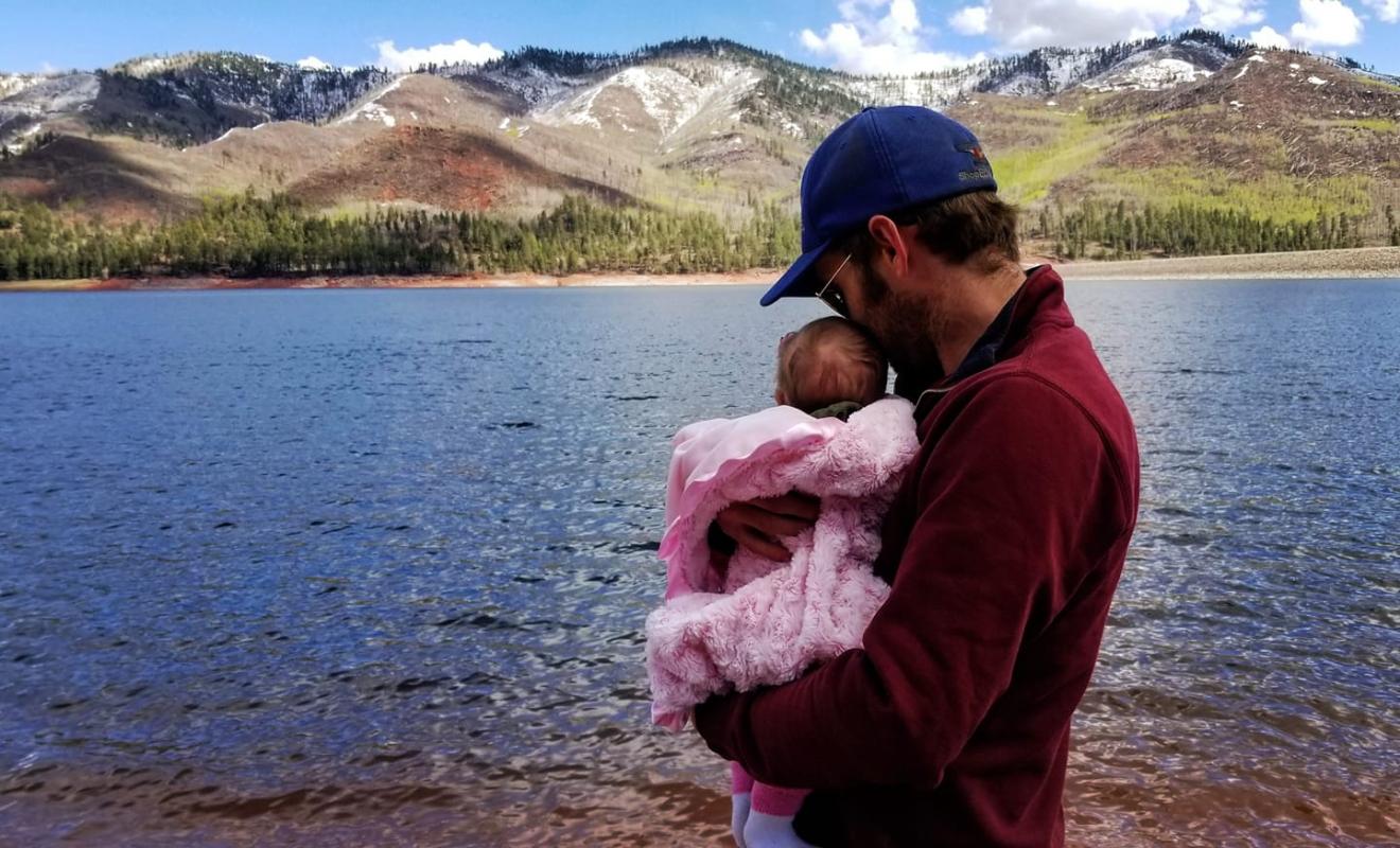
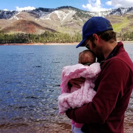
Dad and Daughters First Fishing Trip
Vallecito Lake April 26, 2019. Our daughter's first trip out and about to the lake.
This photo was a submission to the 2022 We are Water Photo Contest.
by: Cheyenne Munns
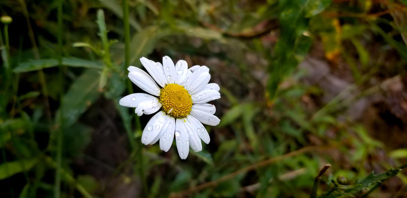
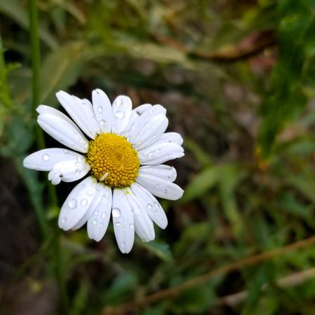
You're a Daisy if you do
Just a pretty little daisy I saw while walking around Vallecito Lake in June 2022
This photo was a submission to the 2022 We are Water Photo Contest.
by: Cheyenne Munns
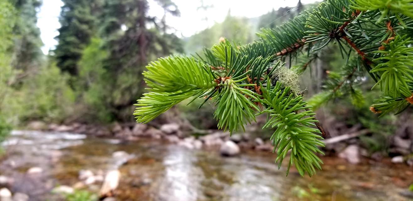
A Bit of Green
Behind Transfer Park, near Lemon Reservoir on June 20, 2020
This photo was a submission to the 2022 We are Water Photo Contest.
by: Cheyenne Munns
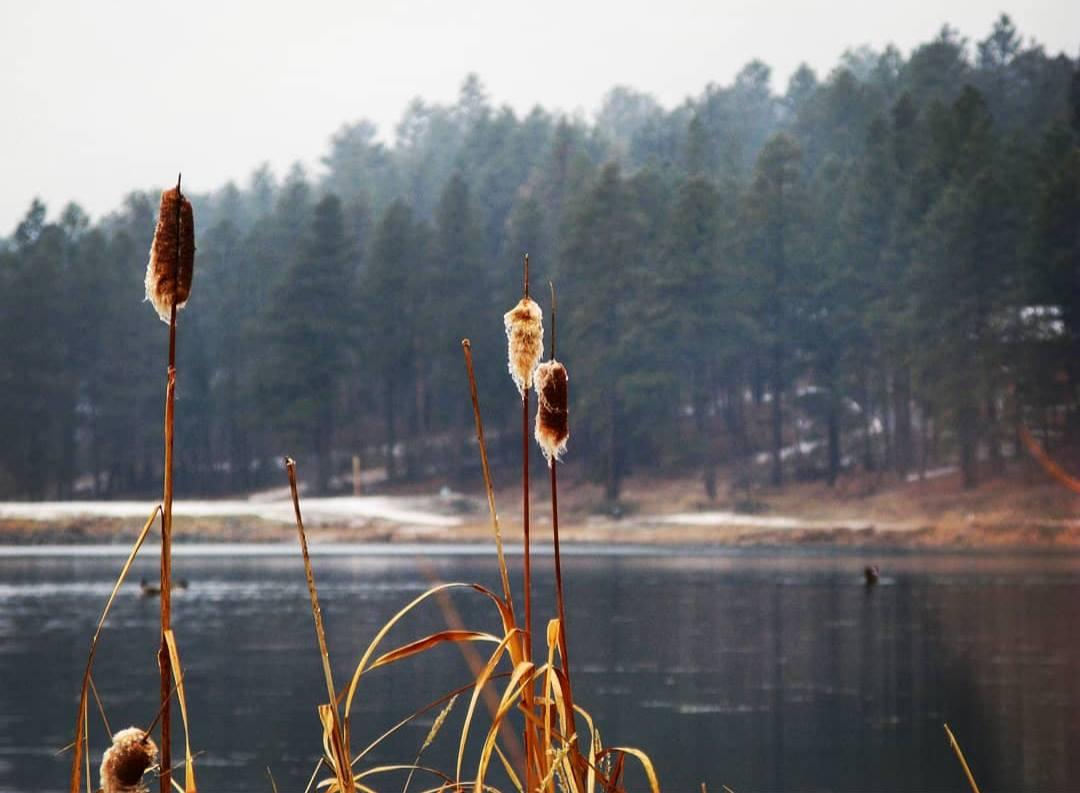
Cold Morning
Early morning hike around Haviland Lake, Durango, CO 2016
This photo was a submission to the 2022 We are Water Photo Contest.
by: Cheyenne Munns

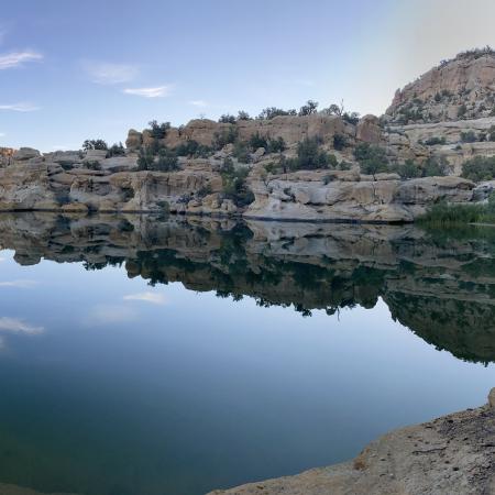
Sunrise at Cutter Dam Reservoir
The reservoir is located south of Blanco and east of Largo Canyon. Photo was taken July 3, 2021 at sunrise. Great little getaway gem for fishing and hiking. The lake is part of the main stream of water for the Navajo Agricultural Products Industry.
Accompanying Water Reflection: I have the utmost respect for water and feel that our community is blessed to have the water resources we have in the Four Corners region. Water is Life, the process by which energy and resources are transformed. Cutter dam is part of that transformation. It is beautiful and quiet in its own little part of San Juan County. In all of it’s stillness it provides water to one of the largest irrigated farms in the United States. I am honored to enjoy this hidden lake that is like a gem in the middle of New Mexico’s high desert.
This reflection won Best Water Reflection in the 2022 We are Water Photo Contest.
by: Margaret Armes

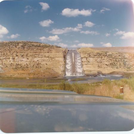
The overflowing spillway at Navajo Dam in New Mexico.
I posted a story about the Navajo Dam spilling for the facebook page of the San Juan County Historical Society (New Mexico). I noted that it had only spilled once, in 1973. The comments were interesting. Many people fondly recalled seeing it spill in the 1980s and 1990s. I was the park superintendent of Navajo Lake State Park (the New Mexico side) for many years and knew I was correct about the 1973 spill and the Bureau of Reclamation historical records support my recollection. Here is a link to that story.
by: Michael Maddox
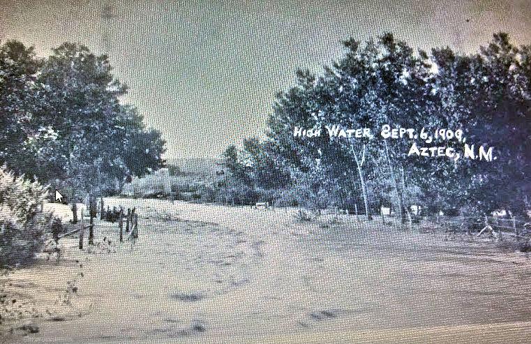
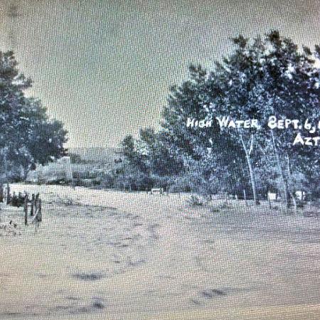
The Animas River flood in Aztec, New Mexico - September 5th and 6th 1909.
The Animas River flood in Aztec, New Mexico - September 5th and 6th 1909. It would flood again in October 1911.
by: Michael Maddox
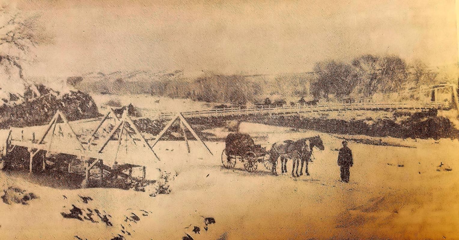
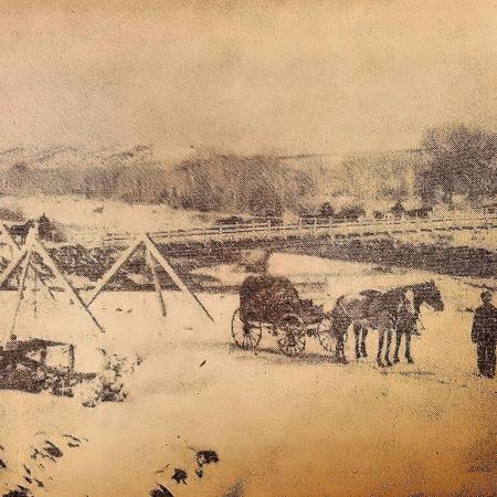
The Thurston Bridge in Aztec in the snow. It was built in 1908.
The Thurston Bridge over the Animas River in Aztec, New Mexico in the snow. It was built in 1908. The smaller bridge close to the photographer is over the Estes Arroyo.
by: Michael Maddox
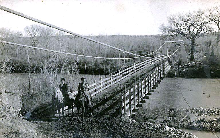
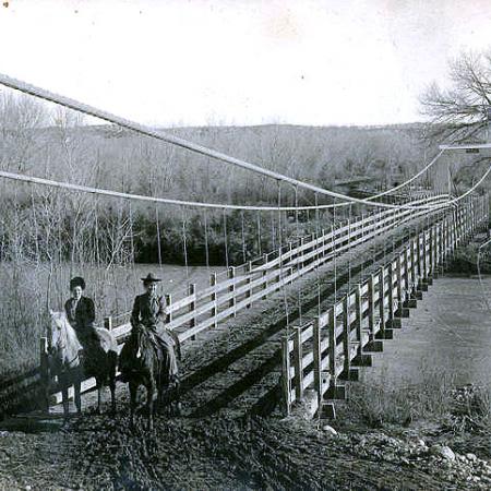
The Thurston Bridge Company’s bridge over the Animas River in Aztec, New Mexico.
The Thurston Bridge Company’s bridge over the Animas River in Aztec, New Mexico.
by: Michael Maddox
Tomato Patch
Drip lines and straw mulch keep a healthy productive tomato patch of 30 or more plants growing.
by: Shelley—Limon, CO
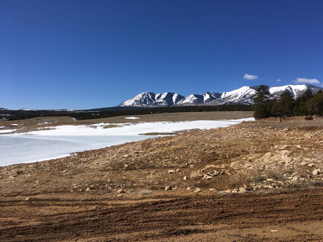
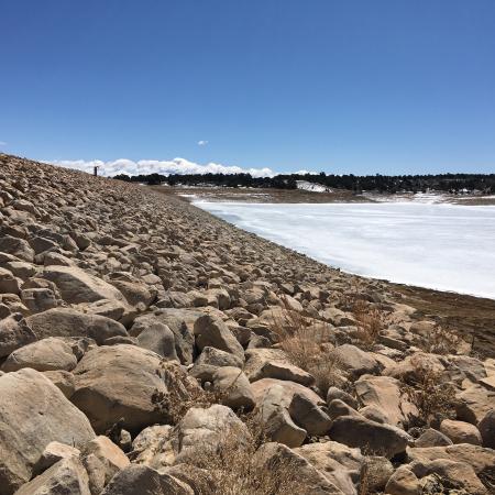
Lloyds Lake and Abajo Mountain, Monticello, UT
This is Lloyds Lake and the Abajo mountains that provide water for Monticello. As you can see there isn’t much water in the lake or snow on the mountains so we will have water restrictions this summer.
by: Kelley—Monticello, UT
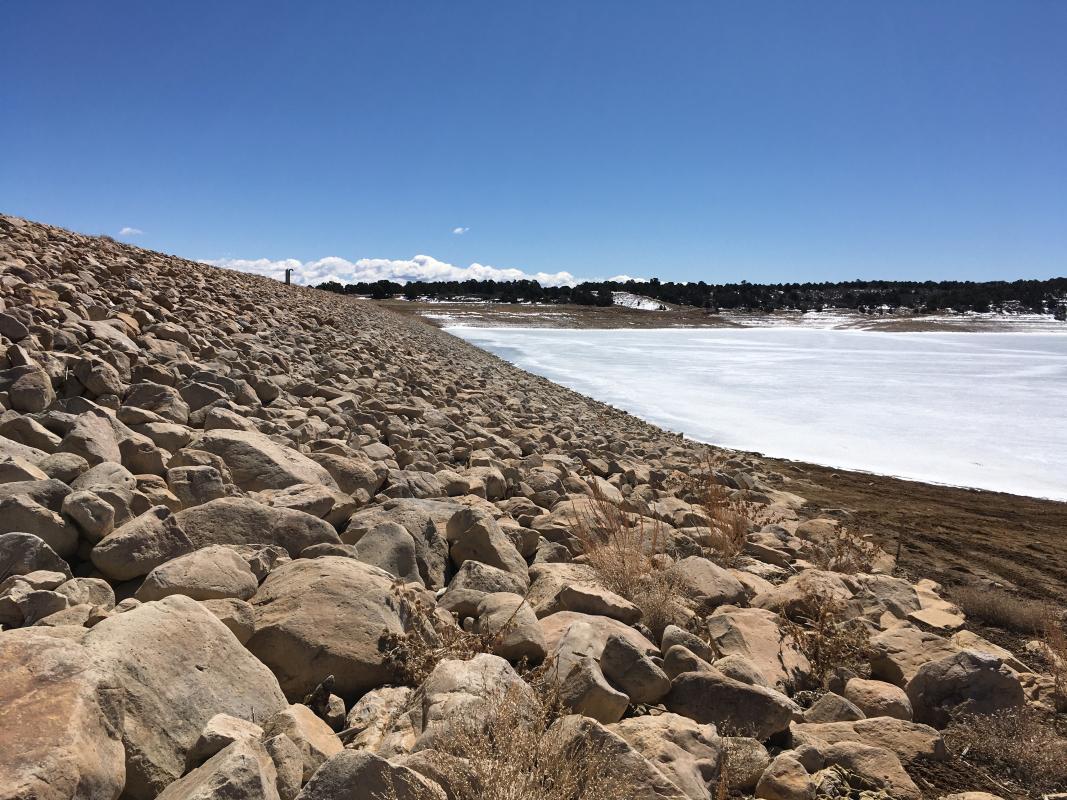
Lloyds Lake, Monticello, UT
This is Lloyds Lake that provides water for Monticello. The water level should be over my head at the top of the rock dam to the left. You can see we will have water restrictions this summer.
by: Kelley—Monticello, UT
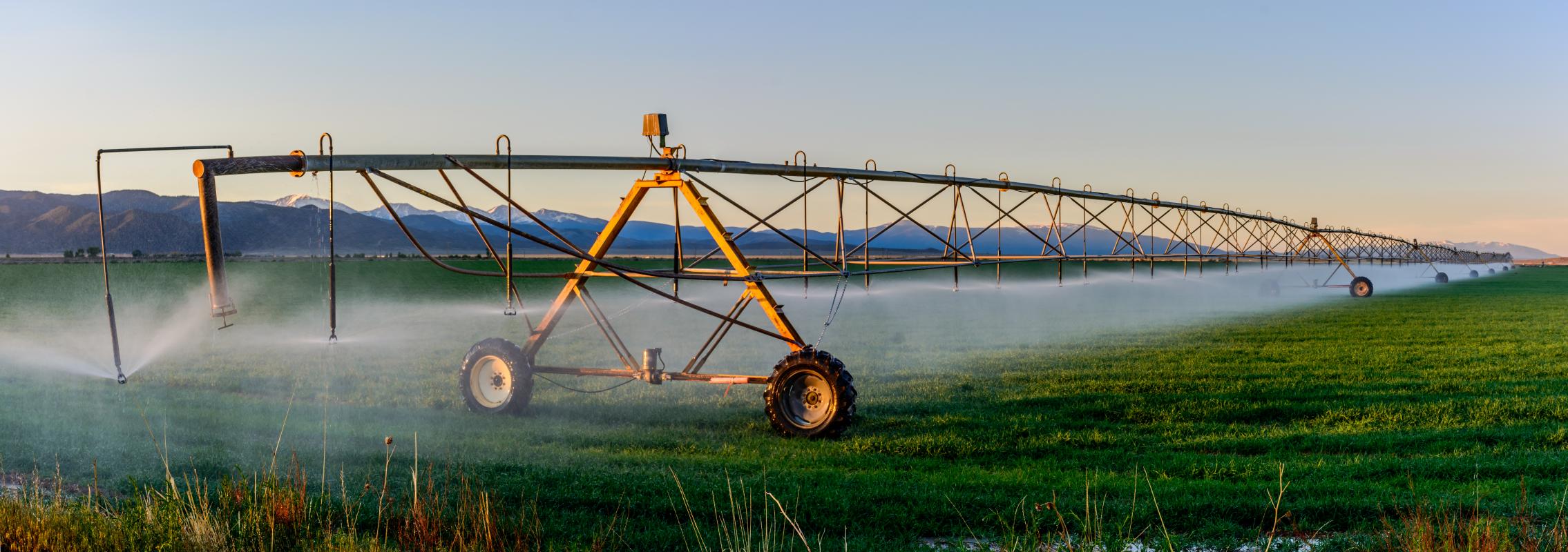
Water in San Luis, CO
Pivot irrigation, which more common in the northern part of Costilla County, relies on a healthy aquifer. The lower part of the county relies more on the acequia system to distribute surface water.
by: Jeremy Elliott
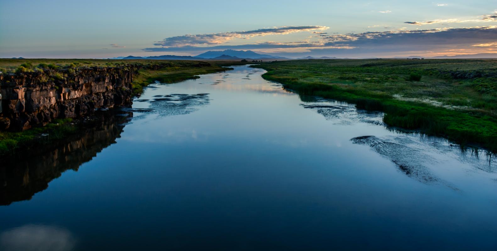
Sunrise from Lobato bridge
The Rio Grande is a critical and beautiful part of the water landscape for much of Colorado's southwestern counties. This is what it looks like flowing through parts of Costilla County.
by: Jeremy Elliott
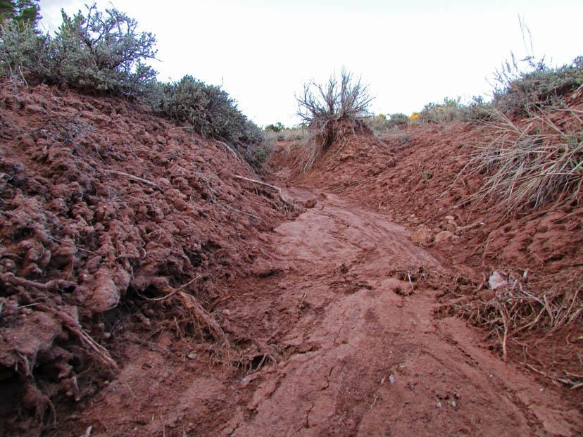
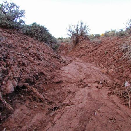
Roots
"Roots" due to overgrazing, rains can erode large sections of the land away exposing the roots of plans.
by: Elphonso Curley as part of the Tribes Eye project
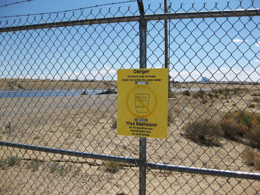
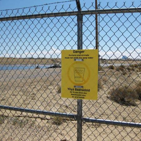
Warning sign
Warning sign near Shiprock, NM
by: Carl Haskie as part of the Tribes Eye project
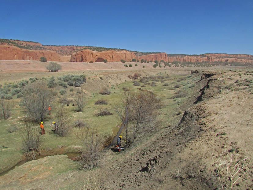
Wildlife habitat restoration
One experienced Ancestral Lands saw crew trains another crew in removing invasive Russian olive trees from a stream outside of Navajo, NM. The Ancestral Lands Program empowers local Native young adults to be active transformers and restorers of their natural world. In this case, removing invasive tree's and ultimately re-planting native species to restore critical wildlife habitat, increase viability of grazing land, and maintain ecological health and balance.
by: Ancestral Lands Program as part of the Tribes eye program
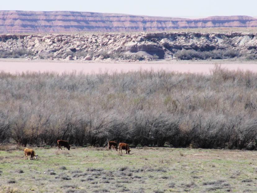
Overgrazing
Cows grazing near Many Farms AZ. Overgrazing is large problem in the reservation, and the exposed soil erodes during heavy storms, reshaping the landscape.
by: Allison Lee as part of the Tribes Eye project
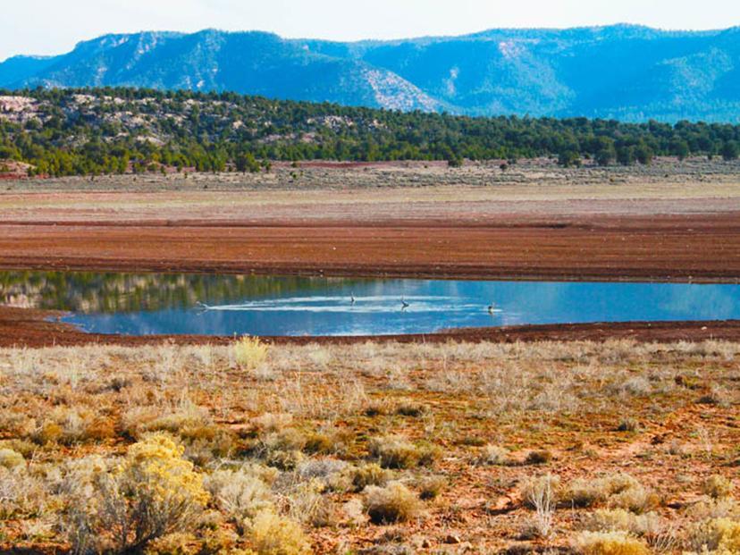
Vanishing Water
Vanishing Water is a photo I took on January 15, 2015. Most of the water is now gone but slowly rejuvenating and healing. This shows how we as humans can change the environment or the habitat for animals and birds. Not only nature itself changes we also have part in it as well.
by: Kyle V. Sorrell as part of the Tribes Eye project
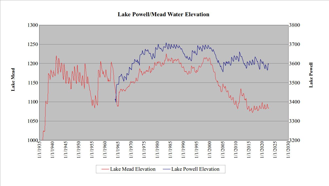
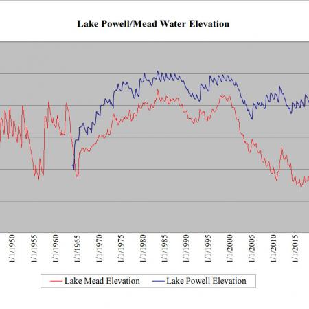
Water level history for Lakes Powell/Mead
The graph shows the water level history for Lake Powell and Lake Mead. Forecasts thru 2022 are provided by the U. S. Bureau of Reclamation. Despite cutbacks in the reservoir outflows, the drop in water levels shows the results of decreased precipitation in the southwest over recent years.
by: Bill Butler, Durango
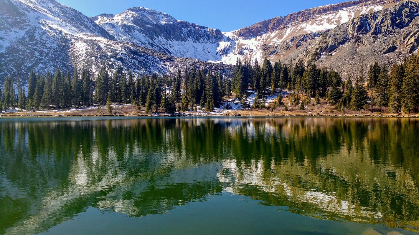
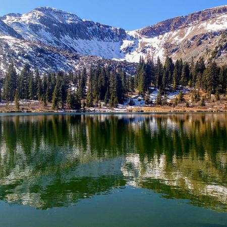
Protect the Pristine
Autumn's first snow gives a taste of the long frozen winter ahead here at 12,000'. Headwaters such as this need perpetual protection, as they provide critical habitat for native cutthroat trout, elk, mule deer, bighorns and other wildlife.
by: Chip Lamar, Pitkin
